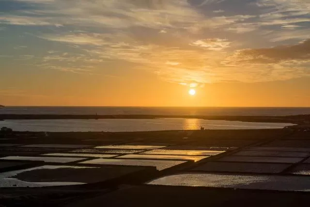
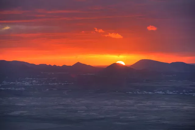
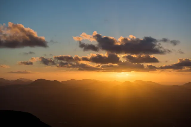
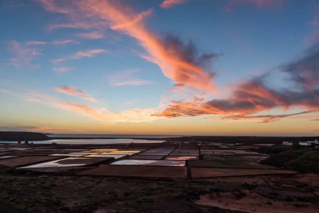
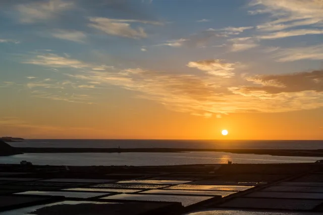
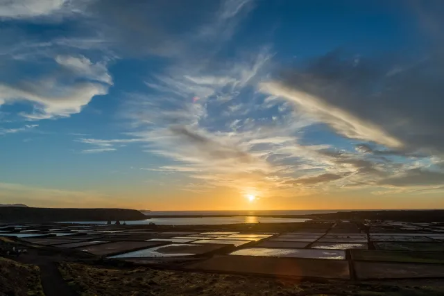
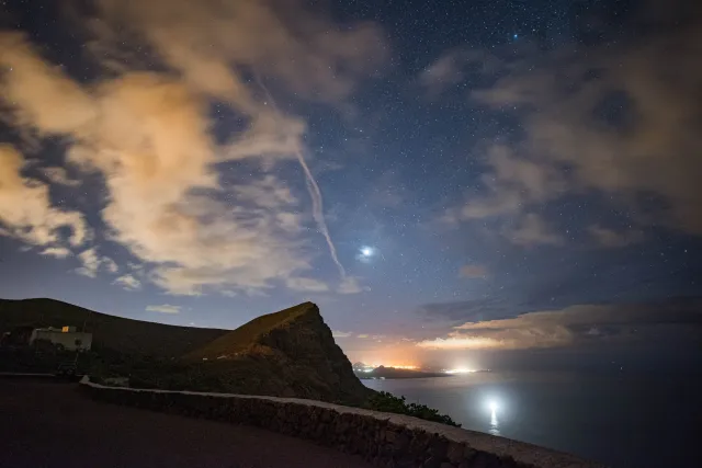
Lanzarote is always worth a trip - and invites you to a variety of activities. The salt pans and an altitude are particularly interesting at sunset, from where you can photograph the sunset behind the volcanoes.
Lanzarote measures around 58 kilometers from north (Punta Fariones) to south (Punta Pechiguera) and 34 kilometers in the largest east-west extension. With an area of 845.94 km², the island has an area share of 11.29 percent of the total area of all Canaries. South of Lanzarote is the island of Fuerteventura, separated by the approximately 11.5 km wide strait La Bocayna, and to the north about 1 km away is the Chinijo archipelago with the small islands of La Graciosa, Montaña Clara, Alegranza, Roque del Oeste and Roque del Este. Of the total of 213 kilometers of coastline, 10 kilometers are sandy and 16.5 kilometers pebble, the rest is rocky.
Lanzarote is an island of volcanic origin. Around 36 million years ago, repeated undersea volcanic eruptions began to form the base of the island. These eruptions arose from intraplate volcanism through continental drift and hotspot volcanism. 15.5 million years ago, Lanzarote grew above the sea surface. (Wikipedia)
Lanzarote - sunsets over the salt flats
Continent or ocean
Country
Region
Picture 1: Sunsets behind the volcanoes
Picture 2: Sunsets behind the volcanoes
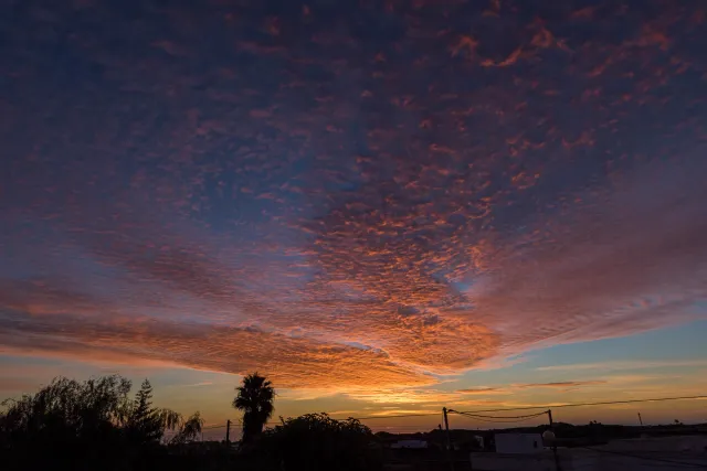
Picture 3: Sunset behind palm tree
Picture 4: Sunset over the salt pans of Lanzarote
Picture 5: Sunset over the salt pans of Lanzarote
Picture 6: Sunset over the salt pans of Lanzarote
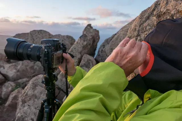
Picture 7: Jürgen taking pictures
Picture 8: The last evening glow in front of the star tent
Videos: Sunsets behind the volcanoes
